

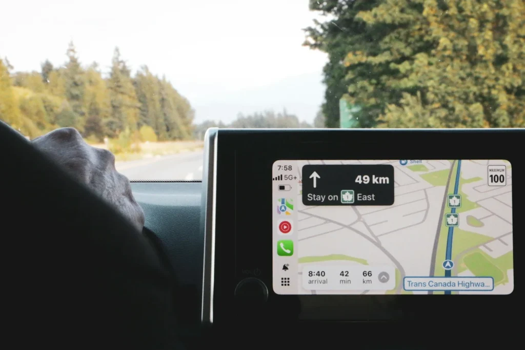
Since the United States and Israel began strikes on Iran on February 28, 2026, satellite navigation across the Persian Gulf region has been heavily disrupted. Maritime and aviation authorities have warned of widespread GPS jamming and spoofing, ships have shown up on tracking maps in impossible places, and people in Gulf cities have watched their phone maps place them in the sea. Here is what these attacks are, what official sources have reported, and what it means for travelers and everyday device users.
Jamming vs spoofing: what is the difference?
GPS satellites orbit roughly 12,550 miles above Earth, so their signals are extremely faint by the time they reach the ground. That makes them easy to overpower with a transmitter on land, at sea or in the air. The same applies to the other satellite systems most devices also use, such as Galileo, GLONASS and BeiDou.
Floods the frequency with noise. The receiver cannot find the satellites and reports no fix or a frozen position.
Broadcasts counterfeit signals. The receiver accepts them and confidently shows a false location or time.
Many drones and missiles rely on satellite positioning, so interference is a common defensive tool in wartime.
Spoofing is generally the more dangerous of the two, because a jammed device knows it has a problem while a spoofed device may not.
What official sources have reported
Several authorities issued warnings soon after the strikes began:
- UK Maritime Trade Operations (UKMTO): an advisory issued March 1, 2026 reported significant GNSS and electronic interference in the Arabian Gulf, warned that the Automatic Identification System (AIS) used to track ships and VHF radio could be disrupted, and said the interference may be intermittent and hard to predict.
- Aviation regulators: the European Union Aviation Safety Agency issued conflict zone bulletins for Iran and the wider Middle East and Persian Gulf airspace. Singapore’s civil aviation authority said in March that jamming and spoofing had been reported across multiple flight regions, causing false terrain warnings and corrupted aircraft tracking data.
- FAA: U.S. airlines and other U.S. operators remain prohibited from flying in the Tehran flight information region under a special federal rule, and the FAA keeps an advisory in place for the overwater airspace of the Persian Gulf and Gulf of Oman.
Private maritime analytics firms counted more than a thousand vessels affected in the first weeks, with ships appearing at inland airports, near a nuclear power plant in the UAE and on Iranian territory on tracking maps.
How flights, ships and phones are affected
| Who | What happens | Main backup |
|---|---|---|
| Airliners | Lost or false GPS positions, false terrain alerts, bad tracking data | Inertial navigation, ground radio beacons, air traffic control |
| Ships | Wrong positions on AIS, higher risk of collisions or groundings | Radar, visual watch, traditional navigation |
| Phones and cars | Maps jump to the wrong place or freeze, odd routes, slow deliveries | WiFi and cell tower location, road signs |
Pilots and ship crews train for satellite navigation outages, and commercial aircraft carry several independent navigation systems, so interference adds workload and risk rather than making flying impossible. For residents of the UAE and neighboring countries, the effects have been more mundane but frustrating: map apps that reroute endlessly, delivery drivers running late and locations that appear out at sea.
What it means for you
If you live in the U.S. and are not traveling to the region, this conflict is not affecting your phone’s GPS. Interference has a limited range, and operating a GPS or cell jammer is illegal under U.S. federal law. Where it can touch you:
- Travel to or over the Gulf: expect rerouted flights, airspace closures and schedule changes. Check your airline’s travel alerts before you go.
- In the region: download offline maps, keep WiFi and mobile data on so your phone can use network location, and confirm your route against road signs.
- Location based apps: ride hailing, delivery tracking and workout logs may show wrong positions. Take odd readings with a grain of salt.
FAQ
Can GPS jamming affect my phone in the U.S.?
Not from the Middle East conflict. Interference only works within range of the transmitter, which is far from the U.S. The FAA also runs a reporting channel for GPS anomalies that affect aviation.
Is spoofing more dangerous than jamming?
Usually yes. A jammed device knows it has lost its signal, while a spoofed device may trust a fake position without warning.
Is the interference still happening?
Yes. Aviation operations reports from early October 2026 describe jamming and spoofing as still widespread at several Gulf airports, and the Strait of Hormuz remains largely closed to normal shipping.
Do airlines still fly in the region?
Many routes have been suspended or rerouted at different points in the conflict. U.S. operators remain barred from Iranian airspace, so check with your airline before traveling.
The verdict
The surge in GPS jamming and spoofing is a side effect of a war in which drones and missiles depend on satellite navigation. It has made shipping and flying in the Gulf harder and has confused phone maps across the region, but crews have backups and U.S. users at home are not affected. If you are traveling to the area, plan for navigation hiccups and travel disruptions.
Updated October 2026: rewritten as an explainer on GPS jamming and spoofing during the Iran war, with official advisories and current status.
Featured photo: Dithira Hettiarachchi on Unsplash.
About this article: GeekBlog covers U.S. technology news, AI, phones, smartwatches and gaming. Every story is written and checked under our Editorial Policy. Spotted a mistake or have a story tip? Contact our editors.
